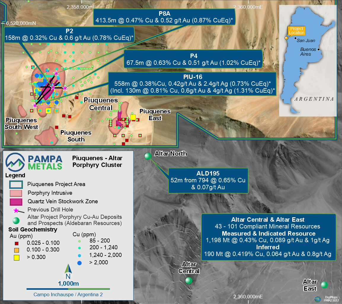
Piuquenes Copper -
Gold Porphyry Project
- Copper & Gold - Compelling market fundamentals
- Tier 1 Belt - Elephant Country for Copper - Gold Porphyry Deposits
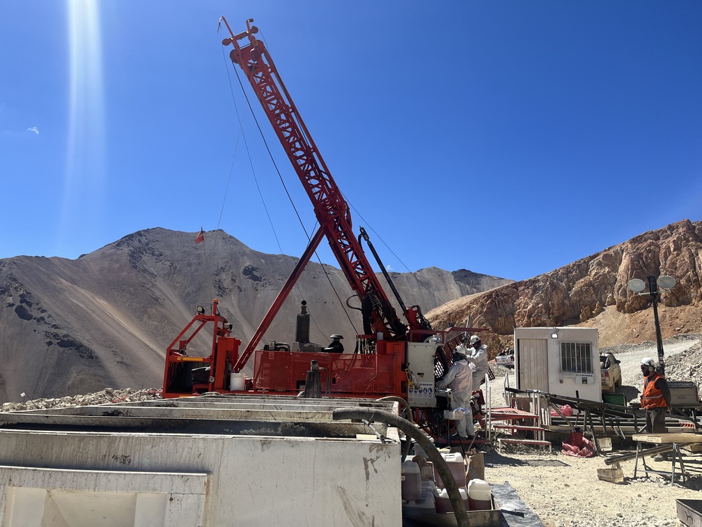
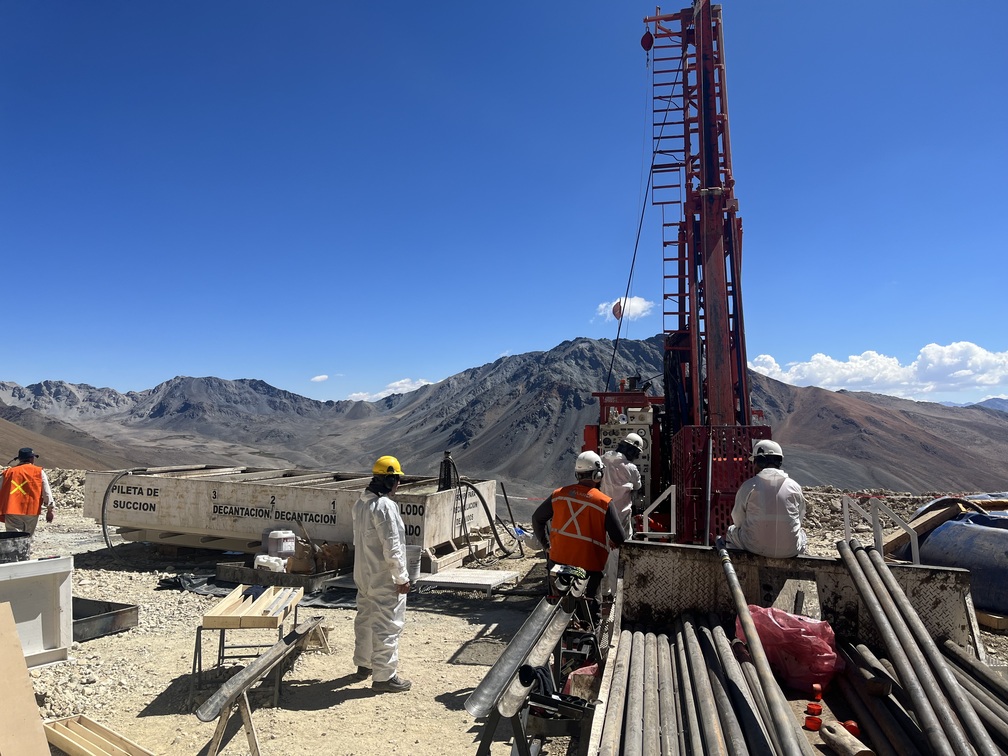
- Significant Upside – Post-Discovery Exploration
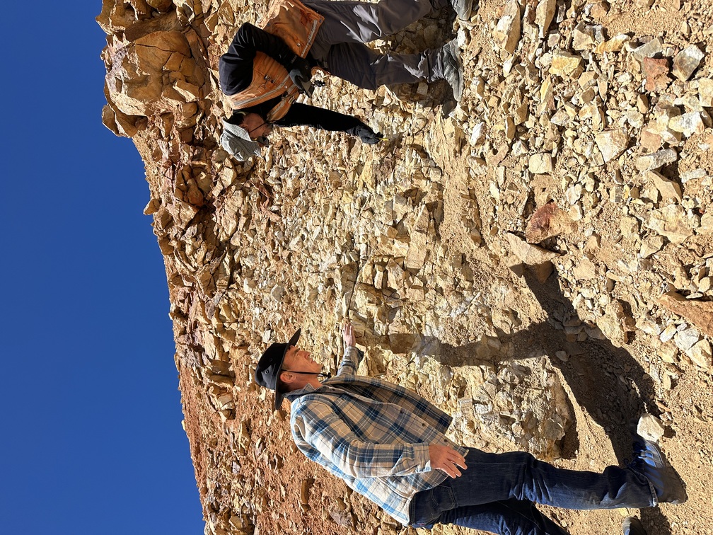
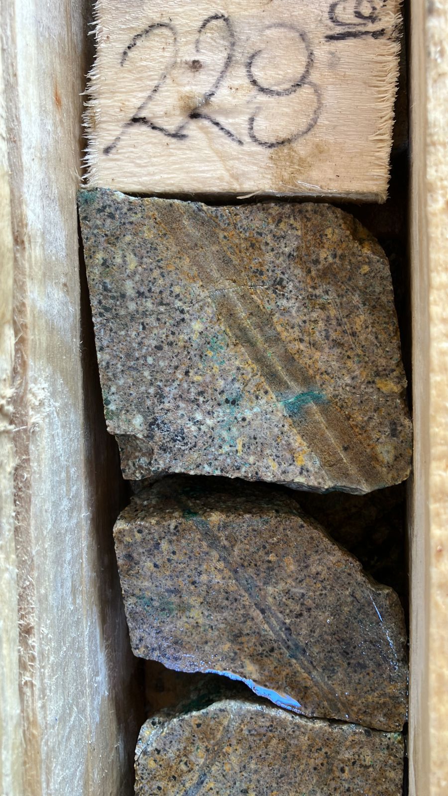
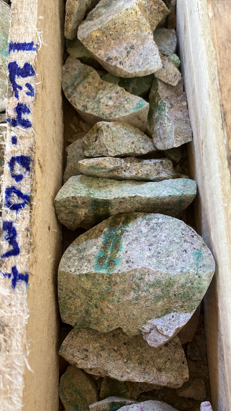
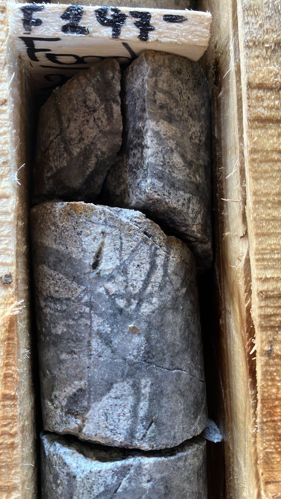
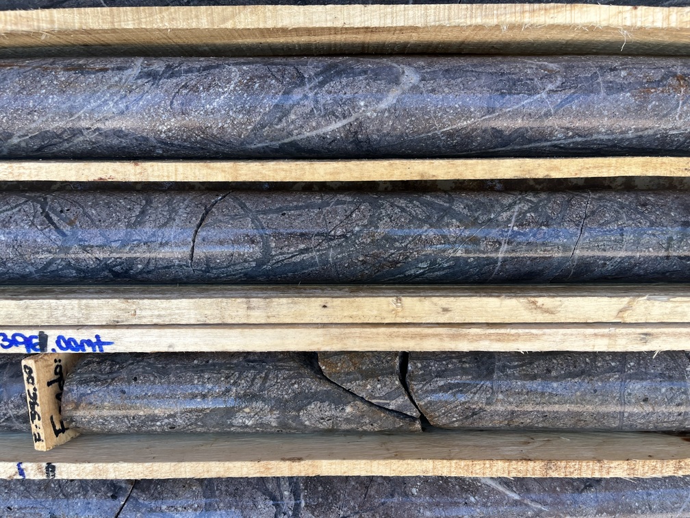
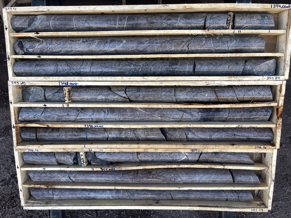
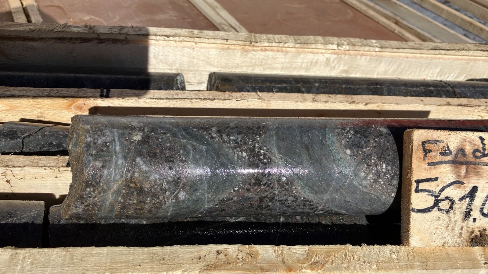
- High-grade copper & gold mineralization - significant intervals reported
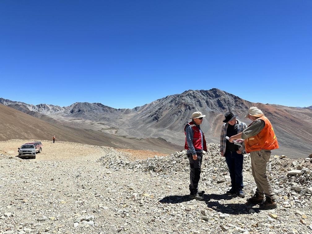
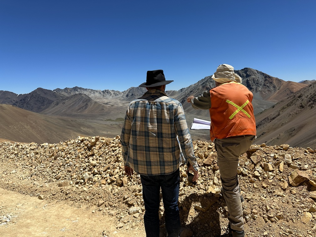
- Potential for multiple discoveries - located within a district scale cluster
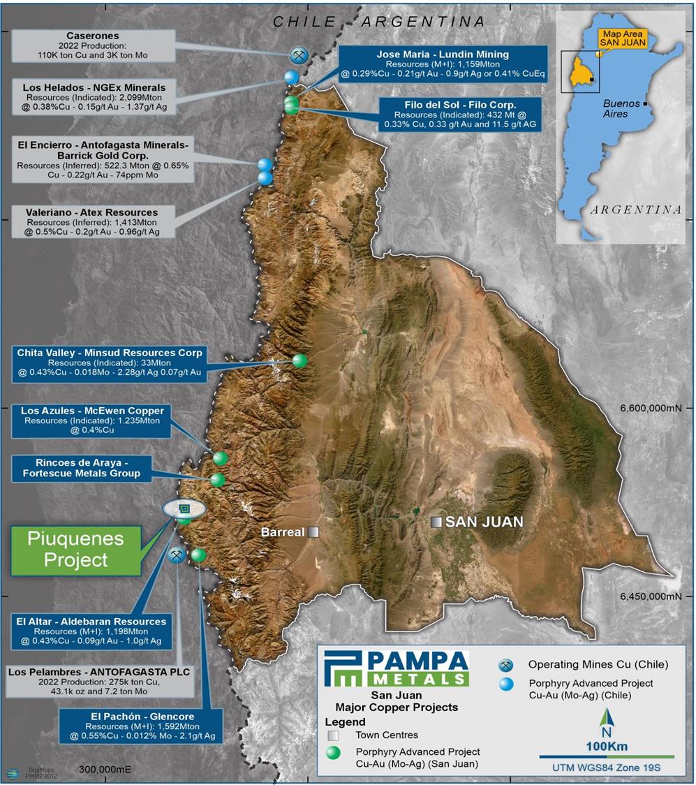
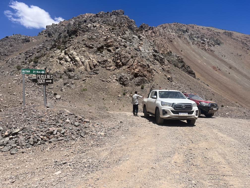
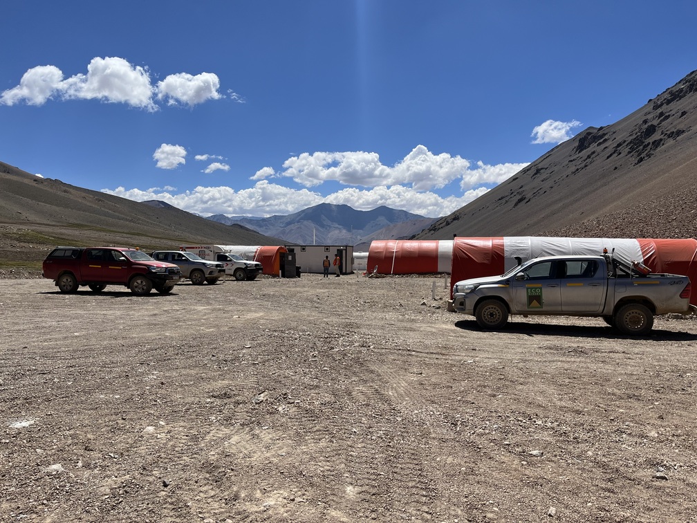
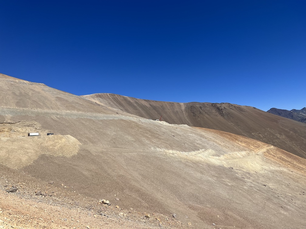
~1,880 Hectares
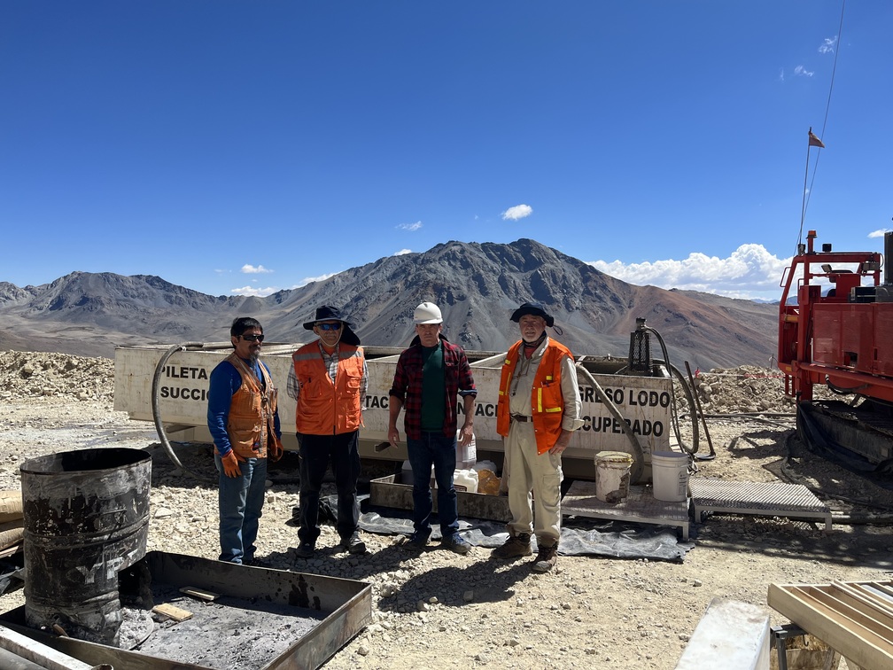
Piuquenes
Post-Discovery exploration along the San Juan Miocene porphyry belt, the world’s hottest copper porphyry exploration belt.
Investor Presentation
Company Snapshot
Tier 1 Location
Discovery 1990s
Entry Level Valuation into
Company Making Asset
Strong Near Term News Flow